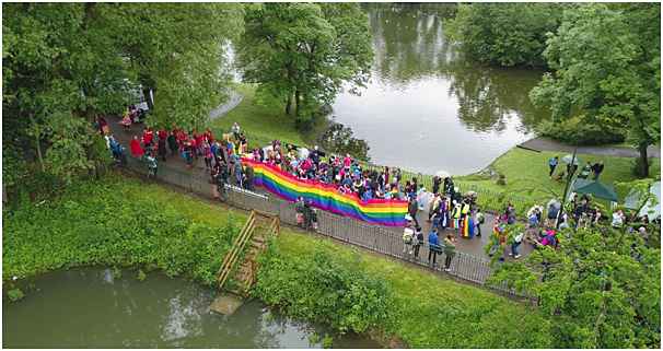
The skycam working with drone deploy
Aerial Site Intelligence in Real Time
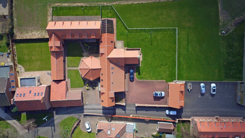
As aerial photographer, we can also create accurate, high-resolution maps, reports, and 3D models, including real-time 2D Live Maps to allow for analysis of sites.
See below example as provided to ‘Haven Hotels’ Group by The SkyCam
Posted on October 1, 2018