The Fascinating Application of Drones in Ipswich for Agricultural Surveys
In Ipswich, the use of drones for agricultural surveys has become increasingly popular in recent years. Drone photography allows farmers to monitor their land, crops, and animals in a way that was not possible before. It gives farmers a unique perspective and insight into their land that can be used to optimise and improve operations. In this blog post, we will explore the fascinating application of drones in Ipswich for agricultural surveys and the potential impact they can have on the industry.
The Benefits of Using Drones in Agricultural Surveys
In recent years, the use of drones in agricultural surveys has become increasingly popular in Ipswich and other parts of the world. With their ability to capture high-quality aerial photography and perform surveys at a fraction of the cost and time of traditional methods, drones have proven to be an incredibly useful tool in crop management. Here are just a few of the benefits of using drones for agricultural surveys:
Firstly, drone hire is a cost-effective alternative to traditional crop monitoring methods such as ground-based surveys or manned aerial surveys. Drones can cover large areas quickly and efficiently, without the need for expensive equipment or personnel.
Secondly, aerial photography allows for detailed, accurate crop mapping, allowing farmers and landowners to identify problem areas or potential yields. With a drone, you can capture detailed images of fields, allowing for targeted crop management, increased efficiency, and ultimately better yields.
In addition to cost and efficiency savings, drones also reduce the risk of injury to surveyors. By avoiding the need for workers to walk through fields, farmers and landowners can reduce the risk of injury or accidents while also reducing the overall environmental impact of farming operations.
Overall, the use of drones in agricultural surveys has many benefits, from cost and time savings to more targeted crop management and increased yields. As drone technology continues to improve and become more affordable, it’s likely that we’ll see even more applications of this technology in agriculture in the future.
How Ipswich is Utilising Drones for Crop Management
In Ipswich, drones are being used for crop surveys to collect accurate data about crops and identify issues early on. This allows farmers to make informed decisions about irrigation, fertilization, and pesticide application, leading to more efficient and cost-effective crop management. Some farmers have even begun drone hire services, allowing others to benefit from the technology as well. In addition to surveying crops, drones are also being used for aerial photography, providing high-quality images of fields for further analysis. This allows farmers to get a bird’s eye view of their land, identifying potential problem areas before they become more serious. With the increasing adoption of drones in agriculture, Ipswich is at the forefront of this exciting and innovative technology.
The Different Types of Drones Used in Agricultural Surveys
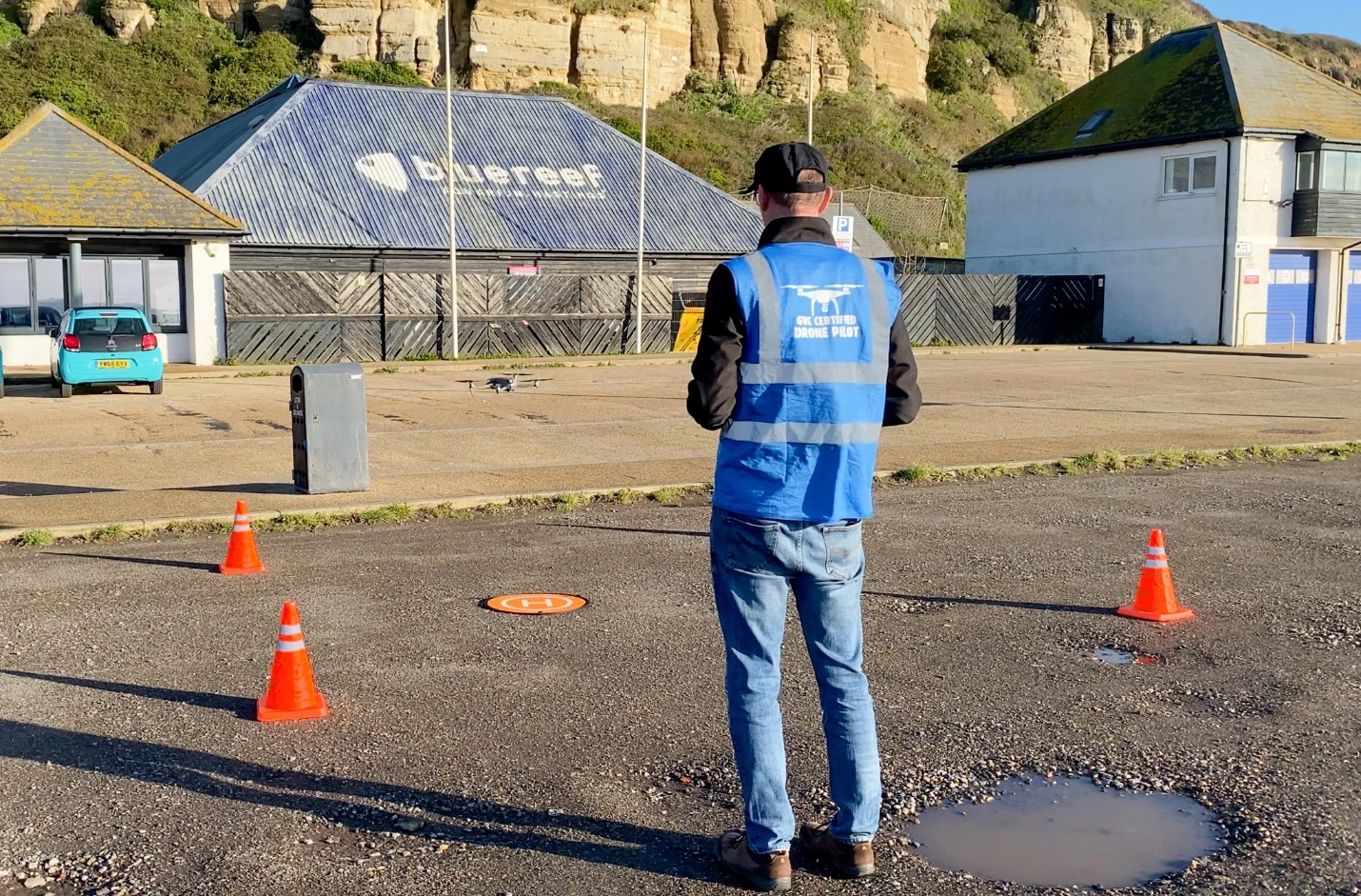
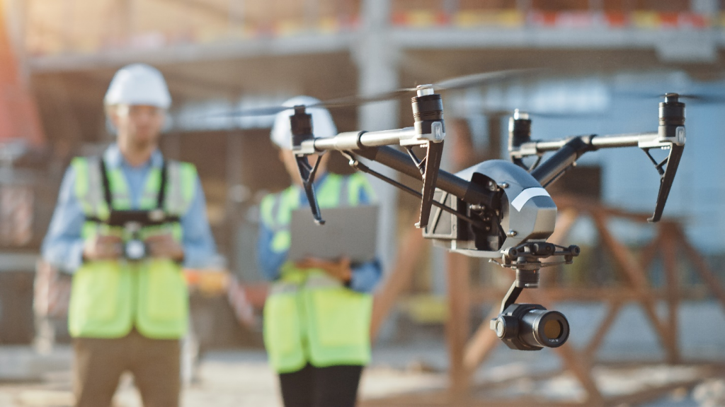
Matrice drones for crop survey is one of the most commonly used types of drones in Ipswich for agricultural surveys. This drone is equipped with high-quality sensors and a high-resolution camera, which allow farmers and agronomists to obtain detailed data and images of their crops. The Matrice drone can fly for up to 25 minutes and cover large areas quickly, making it ideal for crop management and mapping. Additionally, many farmers in Ipswich opt for drone hire services, which provide them with access to advanced drones and sensors without the need for a significant investment. With drone hire services, farmers can also benefit from the expertise of experienced drone pilots and agronomists who can help them optimise their crop management strategies.