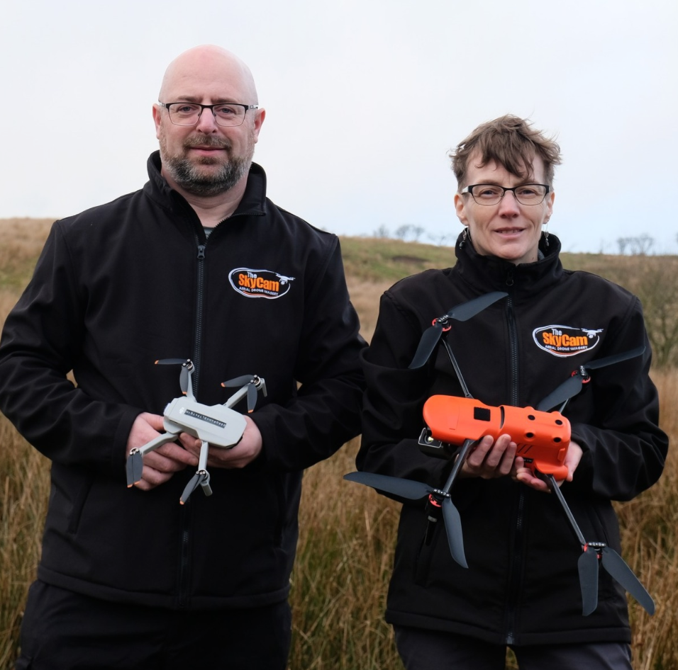
Many farmers are now using what was once military aviation technology
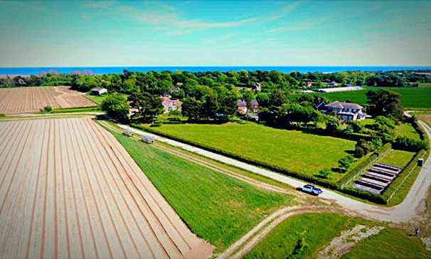
Many farmers are now using what was once military aviation technology to grow better crops using pictures from the air. This recent job that our Chichester franchisee undertook demonstrates the quality of the imagery that can be taken with a drone.
A drone’s software plans the flight path, which gives maximum coverage of the land and controls the camera to optimise the images for later analysis. Compared with satellite imagery, it’s much cheaper and offers higher resolution.
Posted on July 15, 2017