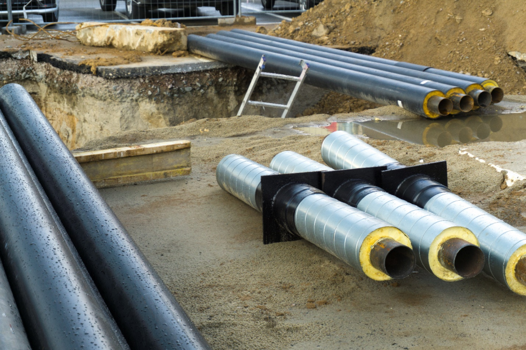
Mapping of underground pipes
Our Edinburgh based SkyCam operator was recently asked to take some aerial images of underground pipes.
Drones make this kind of work effortless for land owners, giving instant access to high res images that you simply cannot get with things like Google Maps.
We are seeing more and more of these kinds of requests for our drones Nationwide.
See more of Ian’s work at www.theskycam.co.uk/dronehireedinburgh
Posted on September 12, 2017