UK'S LARGEST PORTAL FOR IN-HOUSE DRONE PILOTS
- CALL TODAY ON : 0800 433 7186

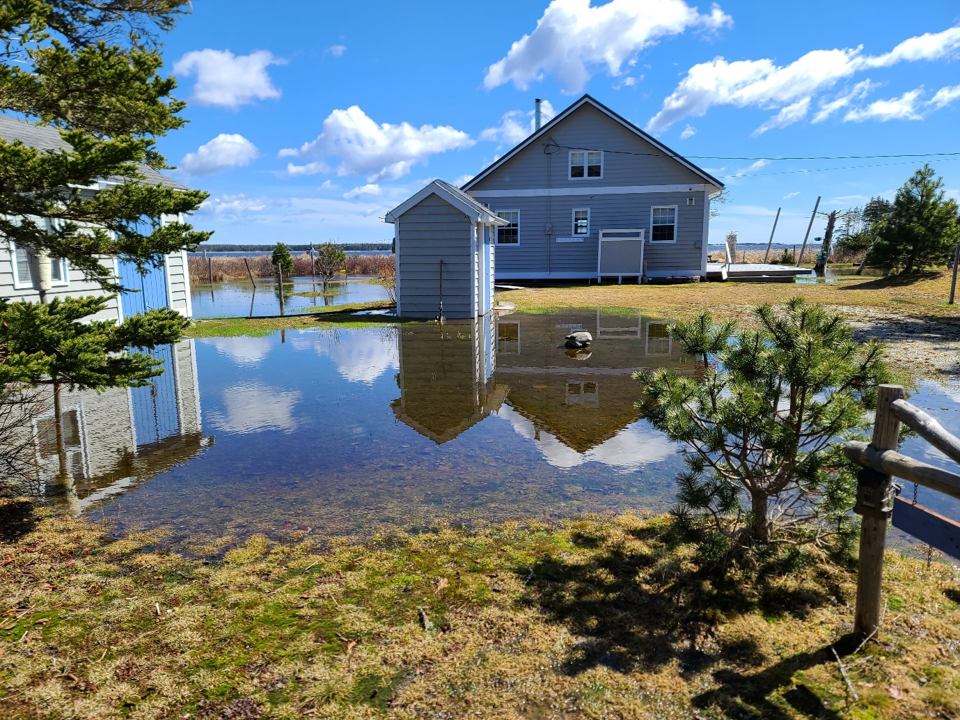
Protect Your Property: The Importance of SkyCam Flood Damage Surveys
SkyCam flood damage surveys offer an important service to property owners across the country. By providing detailed and accurate information about flooding and its potential effects on homes and businesses, these surveys can help you take steps to protect your property from the devastating effects of a flood. In this blog post, we'll discuss the importance of SkyCam flood damage surveys and how they can help you ensure that your property is safe.
A flood damage aerial survey is a comprehensive assessment of the damage caused by floods, carried out by utilizing the latest drone technology. It is an efficient and cost-effective way of collecting critical information on the extent of the damage caused by floods.
Aerial surveys allow a bird's-eye view of the affected area, which helps identify any potential risks or dangers to people and their properties. By taking images and videos from the air, a flood damage aerial survey can identify damages that are otherwise difficult to spot on the ground. These images and videos can be analyzed to determine the damage caused and the best course of action needed to rectify it.Flood damage surveys also provide essential data that can be used for insurance purposes. They help in determining the extent of damage caused by the floods, and this information is useful in the claims process. Insurance adjusters use this data to make fair and accurate assessments of the damage. In summary, a flood damage aerial survey is a powerful tool for assessing flood damage, providing essential information for decision-making, and helping property owners understand the extent of the damage to their property.
Numerous benefits to using SkyCam for flood damage surveys, including:
- 1. Safety: SkyCam eliminates the need for manual inspections, which can be dangerous in flooded areas. The drone can safely fly over the affected area, capturing detailed imagery without putting anyone at risk.
- 2. Speed: There are Flood damage surveys can take weeks or even months to complete using traditional methods. SkyCam can complete surveys in a matter of hours, providing crucial information to property owners and insurers quickly.
- 3. Accuracy: The high-resolution imagery captured by SkyCam allows for detailed assessments of the damage, identifying issues that may have been missed by traditional inspections. This can lead to more accurate and effective repair plans.
- 4. Cost-effective: SkyCam's flood damage surveys are more cost-effective than traditional surveys, as there is no need for expensive equipment or labor-intensive inspections.
- 5. Coverage: SkyCam can survey vast areas of land, including remote or hard-to-reach areas, providing a comprehensive view of the damage and ensuring that nothing is missed.
Overall, SkyCam's flood damage surveys offer a quick, safe, and cost-effective way to assess flood damage. This technology can help property owners and insurers make informed decisions about repair plans, ultimately protecting their investments and ensuring the safety of those affected by floods.