UK'S LARGEST PORTAL FOR IN-HOUSE DRONE PILOTS
- CALL TODAY ON : 0800 433 7186

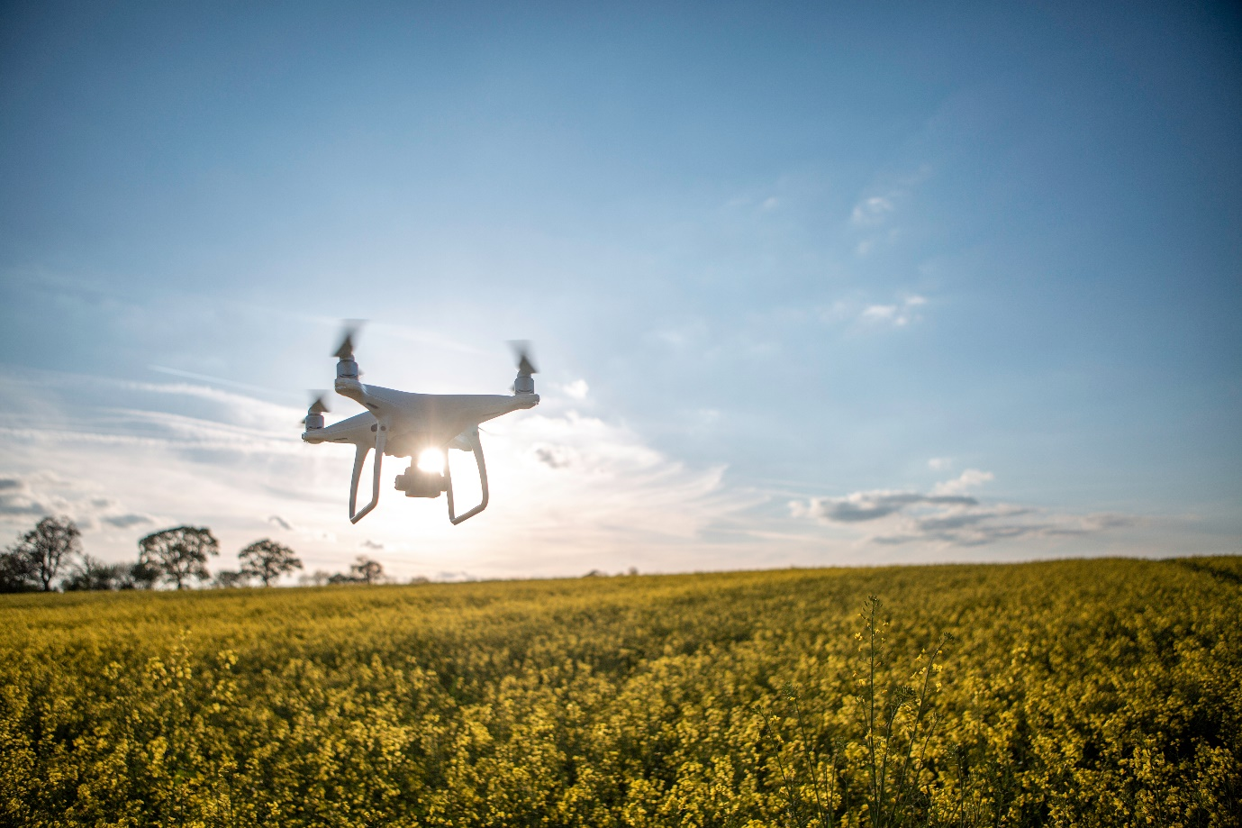
SkyCam Takes Aerial Crop Surveys to New Heights
SkyCam is revolutionizing the way farmers keep tabs on their crops. By utilizing drones for aerial crop surveys across the country, SkyCam offers a cost-effective and efficient way to monitor crops from the sky. With this innovative technology, farmers can gain valuable insight into the health and productivity of their land with minimal time and effort. In this blog post, we'll discuss how the SkyCam drone franchise is taking aerial crop surveys to new heights.
WHAT ARE AERIAL CROP SURVEYS AND WHY ARE THEY IMPORTANT?
Aerial crop surveys refer to the process of using unmanned aerial vehicles, commonly known as drones, to capture high-resolution images of agricultural land. These images are then analyzed to obtain valuable insights on the crops' health, growth, and overall yield potential.
Agriculture plays a critical role in ensuring food security for the world's population. It is a complex and multifaceted industry that relies heavily on accurate information to optimize crop yields and reduce waste. Traditional crop surveys have been time-consuming and often result in limited data accuracy due to the complexity of the terrain. With the SkyCam drone franchise however, the way crop surveys are done has been revolutionized.
In addition to this using SkyCam's aerial drone surveys, farmers and agricultural experts can quickly and efficiently gather data on crop conditions over a vast area. The use of drones ensures a higher level of accuracy and faster results compared to traditional methods. This technology has made it possible to monitor crops throughout the growing season and provides a reliable source of information for making data-driven decisions on land use and crop management.
With the introduction of the SkyCam drone franchise, we conduct crop surveys with the help of aerial drones. The traditional method of crop surveys involved manually walking through fields, visually inspecting each crop and recording any observations on paper. This method was time-consuming, labor-intensive, and prone to human error. SkyCam has provided a more efficient and accurate alternative with its aerial drone surveys.
SkyCam's drones are equipped with high-resolution cameras and sensors that can capture detailed images and data of the crops from above. This information is then processed using state-of-the-art software that can identify crop health, moisture levels, and other important factors. This data is then compiled into a report that can be used to make informed decisions about crop management. The benefits of using drones for aerial crop surveys are numerous. SkyCam drones cover large areas of crops in a short amount of time, reducing labor costs and increasing efficiency. Additionally, the drones can capture detailed data that may not be visible to the human eye, allowing for early detection of potential issues and quicker intervention. This ultimately leads to improved crop yield and quality. SkyCam's drones are also environmentally friendly, as they eliminate the need for chemical pesticides and fertilizers that can harm the environment. The drones can provide farmers with the information they need to make informed decisions about when and how to apply these products, minimizing their impact on the environment.